
Booker T. Washington Trail
7.5 miModerate4.5 (916)
The park's most-reviewed route, 7.5 miles through the woods on Chickamauga Lake. It's a mountain-bike trail first, so run it with your ears open.
Map & reviews on AllTrails (opens in a new tab)
Chattanooga's first purpose-built mountain bike trail, on the lake — a rooty 3.8-mile outer loop.
Dog-friendly
One thing to check first: the park has an Olympic-size pool, usually open Memorial Day to Labor Day, but Tennessee State Parks publishes no hours or fee for the current season. Call the park on 1-423-894-4955 if the swim is the reason you are going. The trails are open either way.
Booker T. Washington sits on the shore of Chickamauga Lake northeast of town, and its trails were the first purpose-built mountain bike trails in Chattanooga. The outer loop runs about 3.8 miles with 448 feet of climbing, and the inner loops nest inside it if you want to stack more.
It is natural dirt single-track, rooty and twisty, with off-camber turns that will find you if you stop paying attention. The whole network drains slowly, so give it a day after heavy rain.
Four of the five trails are shared with bikes and ridden in both directions. Riders are meant to yield, but the sight lines are short and the turns are blind. Only the half-mile Scenic Trail is closed to bikes.
Entry is free, as it is at every Tennessee state park. Swimming from the lakeshore is prohibited. There is a pool, but call the park before you count on it.
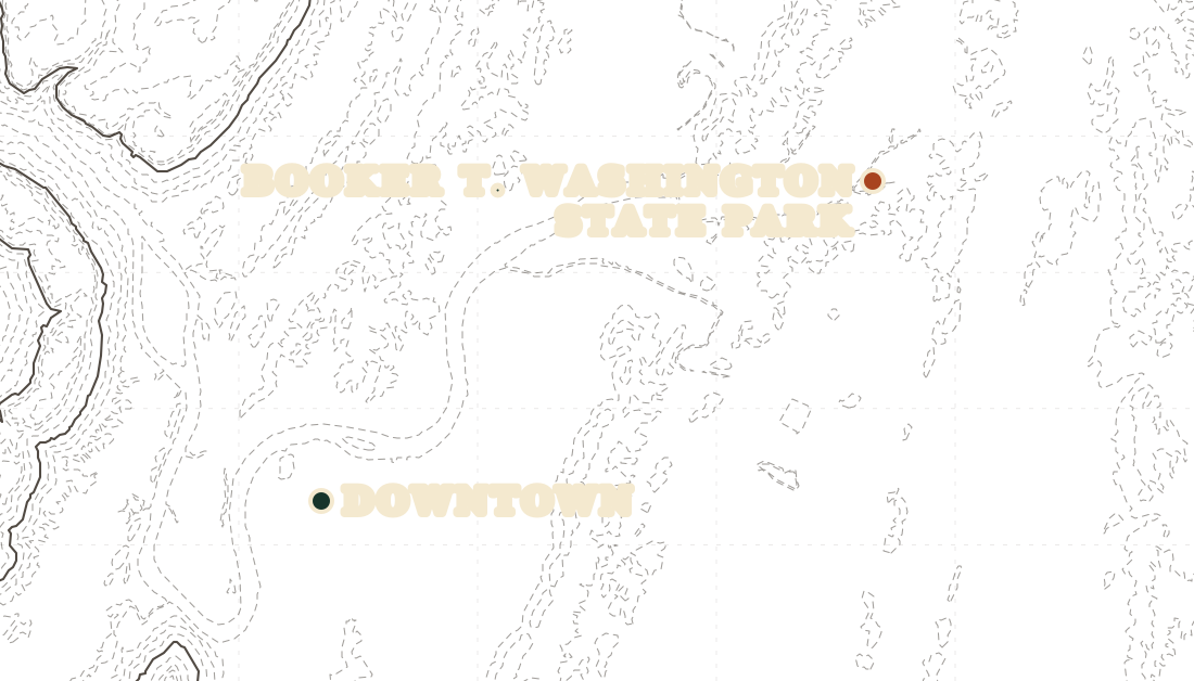
Trail data © OpenStreetMap contributors
7.5 miModerate4.5 (916)
The park's most-reviewed route, 7.5 miles through the woods on Chickamauga Lake. It's a mountain-bike trail first, so run it with your ears open.
Map & reviews on AllTrails (opens in a new tab)Distances and ratings from AllTrails