
Rainbow Lake and Bee Branch Trail Loop
2.2 miModerate4.6 (2,015)
The short loop past the swinging bridge and the swimming hole, with the Bee Branch Trail closing it.
Map & reviews on AllTrails (opens in a new tab)
A 2.3-mile loop on Signal Mountain to a 1916 dam, a waterfall and the swimming hole below it.
Dog-friendlyWater
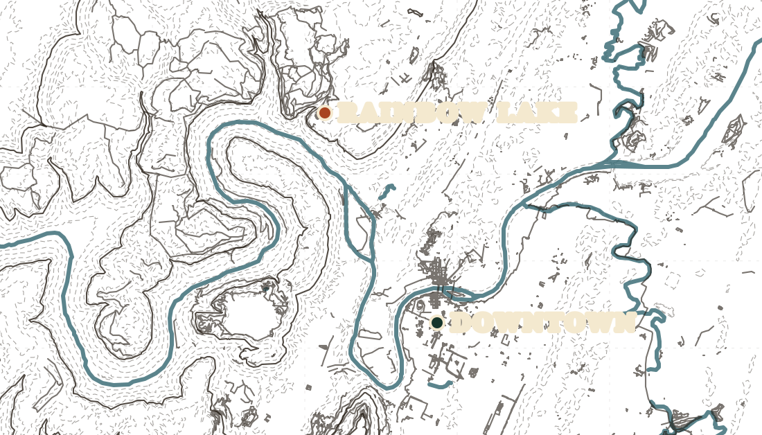
Rainbow Lake is a short loop off Ohio Avenue on Signal Mountain that gets you to a 1916 dam, a waterfall, and the pool below it that everyone calls the Blue Hole. Two interlocking loops joined by bridges over Middle Creek make 2.3 miles, and you can run it before work.
The path starts as gravel and turns into rocky single-track quickly. The descents into the valley are steep enough that this is a bad first trail run in the dark.
This is Town of Signal Mountain land, so the Park Service swimming ban that covers Signal Point does not apply here. There is no posted rule either way. People swim in it and the town promotes it. Worth knowing before you get in: the Cumberland Trail Conservancy has recorded E. coli in Middle Creek.
Some of the connector trails cross private land, and access can be withdrawn. Stay on the mapped routes rather than linking things together on a whim.
Trail data © OpenStreetMap contributors
2.2 miModerate4.6 (2,015)
The short loop past the swinging bridge and the swimming hole, with the Bee Branch Trail closing it.
Map & reviews on AllTrails (opens in a new tab)4.8 miModerate4.6 (714)
Keep going past the lake on the Cumberland Trail to Edwards Point.
Map & reviews on AllTrails (opens in a new tab)Distances and ratings from AllTrails