
Signal Point Park to Edwards Point
5.4 miModerate4.6 (1,174)
The route this entry describes: Cumberland Trail along the bluff from Signal Point to Edwards Point and back.
Map & reviews on AllTrails (opens in a new tab)
Bluff-edge Cumberland Trail above the Tennessee River Gorge, 5.1 miles out and back from Signal Point.
Dog-friendly
Before you drive out: AllTrails has carried a report since November 2025 that the Signal Point trailhead is closed for construction. The Park Service lists no alert and its own page still says parking is available, so we have gone with the land manager. It is a short call to settle it — Chickamauga & Chattanooga National Military Park, 706-866-9241.
Signal Point sits on the rim of the Tennessee River Gorge on Signal Mountain, and the Cumberland Trail runs north from it along the bluff line to Edwards Point. Out and back it is 5.1 miles. The trail is rock, wooden steps and suspension bridges, and it spends most of its length within sight of a long drop.
The Cumberland Trail is closed to bikes for its whole length, so this is running without traffic. It is also genuinely technical: slick rock after rain, several seasonal creek crossings between miles four and six, and bridged crossings at 1.4 and 7.0.
Julia Falls and Rainbow Falls are both visible from the trail in wet weather. Neither has trail access to its base, and swimming is prohibited across the whole National Military Park.
The lot is free and paved, gates close at dusk, and there is no overnight parking. Restrooms shut from the first of December to mid-March. Weekends and afternoons fill it up.
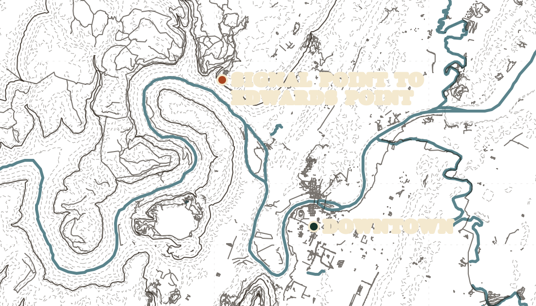
Trail data © OpenStreetMap contributors
5.4 miModerate4.6 (1,174)
The route this entry describes: Cumberland Trail along the bluff from Signal Point to Edwards Point and back.
Map & reviews on AllTrails (opens in a new tab)4.8 miModerate4.6 (719)
Reach Edwards Point from the Rainbow Lake end instead.
Map & reviews on AllTrails (opens in a new tab)3.8 miModerate4.3 (593)
The same stretch of Cumberland Trail from the Suck Creek Road trailhead, 3.8 miles.
Map & reviews on AllTrails (opens in a new tab)Distances and ratings from AllTrails