Signal Point Trail via Suck Creek Road
3.8 miModerate4.3 (593)
The Cumberland Trail from the Suck Creek Road pull-offs, if you want some miles before or after the water.
Map & reviews on AllTrails (opens in a new tab)

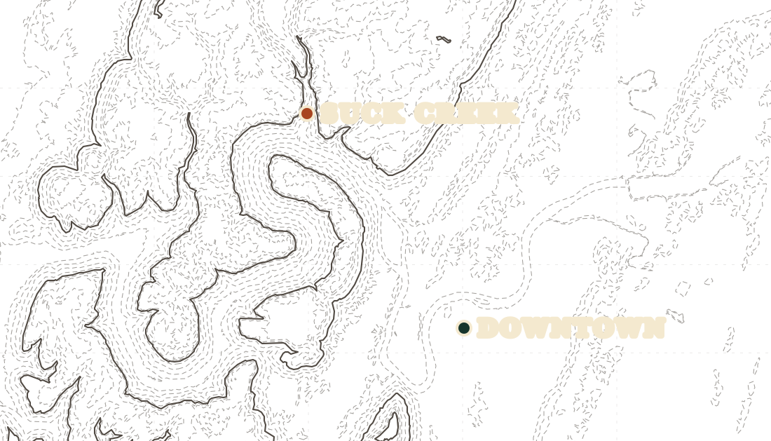
Pools and rapids in the creek below Signal Mountain, reached from pull-offs on Suck Creek Road.
Dog-friendly
Suck Creek runs down the mountainside below Signal Mountain and collects into a string of pools between short sets of rapids. There is no trailhead and no managed swimming area. People park in the pull-offs along Suck Creek Road and walk down to whichever pool looks good, which is why it stays quieter than the swimming holes with a car park and a sign.
That road is the thing to respect. It is Highway 27, it is narrow, and traffic moves. The pull-offs are small and there are not many of them, so go early or go midweek, and keep children close to you between the car and the water.
Depths change from pool to pool and some of them drop off with no warning. The current picks up with rainfall, so what was a flat pool in August is moving water after a storm. Look before you jump, every time, because the bottom moves around.
Nobody manages the creek for swimming and there is no posted rule either way. Plenty of people swim here and the local guides send them, but you are doing it at your own risk and there is no lifeguard within twenty miles.
One thing worth knowing if you plan to walk in from the road: Prentice-Cooper's managed hunts close everything west of Highway 27, and the creek is right on that line. Check the TWRA calendar in the autumn before wandering uphill.
Trail data © OpenStreetMap contributors
3.8 miModerate4.3 (593)
The Cumberland Trail from the Suck Creek Road pull-offs, if you want some miles before or after the water.
Map & reviews on AllTrails (opens in a new tab)Distances and ratings from AllTrails